
Our rivers
The River Avon and The River Frome
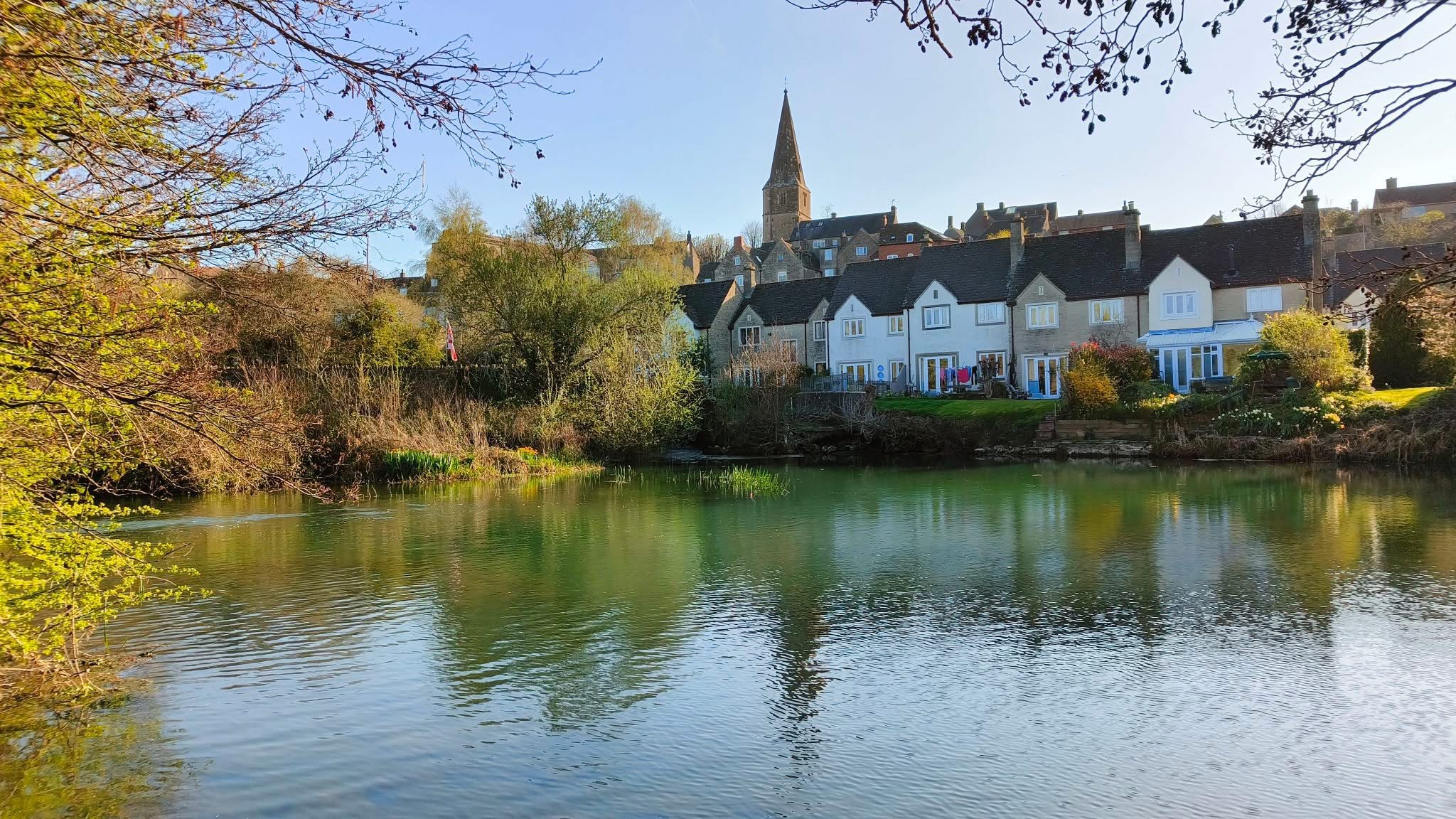
The River Avon
The Amalgamation controls several stretches of the River Avon, starting at Malmesbury, a historic Cotswold town. This upper section is known for producing roach and perch over 3lb, as well as carp over 20lb, though it can be challenging to fish when the water is clear.
From there, the river winds through Sutton Benger, Christian Malford, and Chippenham. These areas offer mixed fishing, including barbel, chub, roach and large shoals of bream. Notable catches include a 33lb pike and a 12lb 7oz tench.
Further downstream at Lacock and Melksham, match weights regularly hit 30–60lb, especially when bream are feeding. Large barbel are also common along this stretch of the river.
⚠️ Caution: Several of these waters are near overhead power lines carrying up to 132,000 volts. These lines are within reach of rods and poles. Always look up, maintain a safe distance and never carry assembled rods or poles under power lines.
Some parts of the Avon (e.g., Malmesbury, Bath, Saltford, Keynsham and Bristol) are free fishing. Please note that we only control the venues listed below.
Daniel's Well
From the A429 Malmesbury bypass (approaching from Chippenham), turn toward the town centre, then take the immediate left into Burton Hill, where parking is available. Access to the river is via the swing gate to the left of the bridge.
Alternatively, continue over the river bridge into the High Street, turn left at the T-junction by the Market Cross, and follow the road past the Abbey ruins. At the next T-junction, turn toward Sherston, then after roughly 450m, turn left for Foxley. Cross the river and navigate a sharp bend. Parking is available on the left outside a large barn.
Please do not park in front of barn doors or on the track leading to the nearby farm. During the week you may be able to park in Dark Lane, which is a turning to the right before the bridge on Foxley Road.
Access to the water is via the stile just before the bridge. Fishing rights run downstream from this point, covering four fields to the town bridge, roughly 1.5 miles of river.
⚠️ Caution: Overhead high-voltage power lines cross this stretch in three locations. Take care when casting.
Lower Christian Malford
Approaching from Chippenham on the B4069, just before the river bridge at Christian Malford, you’ll see a gate and a large car park on the right. This is the access point to the Amalgamation’s waters.
The fishing extends downstream from the car park for around 1.5 miles, covering one medium-sized field and one very large field.
Please note that the weir pool above the bridge is private and not part of the Amalgamation’s waters.
⚠️ Caution: There are high-voltage power cables crossing this stretch. Always look up, keep a safe distance and never carry assembled rods or poles under power lines.
Lacock Abbey Fields
Use postcode SN15 2LG. From the A350, enter Lacock Village and park in the public car park behind the Red Lion pub on the High Street. Do not park near Lacock Bridge or on roadside verges.
Please note that the tourist car park on Bowden Hill Road is locked at night and opens around 10am.
From the car park, walk past the Abbey entrance. About 50m ahead is a wooden farm gate marked “No Entry to Lacock Abbey”. Go through this to reach the river.
Fishing is on the left-hand bank, upstream from Lacock Bridge, across three fields.
Night fishing by permit only.
⚠️ Caution: There are overhead electric power cables cross this section of the river. Always look up, keep a safe distance, and never carry assembled rods or poles under these lines.
Bathford - Candy's
From Bath, take the A4 towards Chippenham. At the Batheaston bypass roundabout, take the old A4 into Batheaston village. Just past the Wagon & Horses pub, turn right onto Toll Bridge Road. Cross the toll bridge (50p) and park on the left just after the bridge, opposite the entrance to Bathampton Mill (Beefeater). If full, you may park just inside the Mill car park.
The fishing extends upstream for about 1.5 miles over two fields, ending one field short of Bathford Railway Bridge.
Lacock Mead Farm
Use the public car park in Lacock village (signed from the A350 bypass between Chippenham and Melksham). There is no other suitable parking nearby, please do not park elsewhere.
From the car park, turn right and walk towards Lacock Bridge. Fishing rights begin downstream of the bridge on the right-hand bank, covering one large field followed by two smaller ones — roughly a mile and a half in total.
Mead Farm lies on the left-hand bank downstream of the bridge and includes six fields, continuing down to the start of Queenfield Farm Fishery.
Night fishing is by special permit only.
Bathampton weir pool & Bathampton Manor Waters
From the old A4 in Batheaston turn right down the Toll Bridge Road cross the bridge (50p toll payable) and turn into the Bathampton Mill car park. The fishing rights extend from the weir downstream to the boundary of Meadow Farm.
Please park just inside the entrance, not down by the restaurant.
Windsor Bridge, Bath
This is a short section of river on the left hand bank downstream of the Windsor Bridge behind the trading estate as far as the old railway bridge.
Parking is in the public area outside of the trading estate and not within the estate itself.
Grosvenor, Bath
Turn off the A4 onto Grosvenor Bridge Road as you leave Bath and park near the Grosvenor Footbridge. Fishing is available on the right-hand bank downstream of the footbridge for about three-quarters of a mile, running behind the supermarket.
There’s also a short stretch on the left-hand bank for around 500 metres downstream from the bridge.
swineford & The Crane
These waters span approximately three miles along the River Avon, beginning at Pipley Brook in Swineford and running downstream (right-hand bank) to Keynsham Marina. Fishing continues from the lock canal behind the marina (left-hand bank) down to Jack White’s Cottage. Please note that no fishing is permitted within the marina itself.
Access is available at both ends. At the upstream end, park in the lay-by opposite the Swan Inn on the A431 (just past Bitton) and use the stile by the gate. For downstream access, parking is available opposite the marina. Entry is on foot via the track between Matthews Buildings and the scrapyard. Vehicles are strictly prohibited.
Limited access to the middle stretch is also possible from Londonderry Farm off the A4175. Park respectfully and walk around ¼ mile to Jack White’s Cottage.
These waters are managed in partnership with the Bristol & West of England Federation of Anglers.
⚠️ Caution: Beware of overhead powerlines. Always look up, keep a safe distance, and never carry assembled rods or poles under these lines.
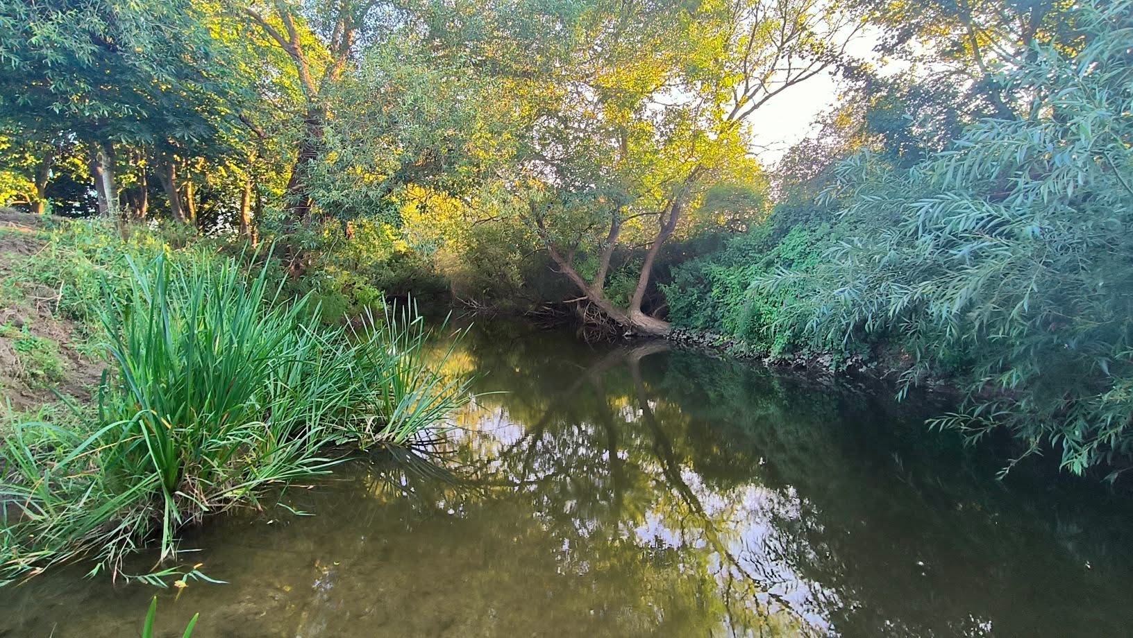
The River Frome
The River Frome, historically spelled “Froom” and still pronounced that way today (as in “broom”), runs through South Gloucestershire into the heart of Bristol.
Stretching for around 20 miles, it begins in Dodington Park in the Cotswolds and flows southwest towards the city. At Eastville, the river enters a culvert and runs underground before emerging again in central Bristol, where it joins the River Avon and forms part of the Floating Harbour. Along its course, the Frome is fed by two main tributaries—Bradley Brook and Folly Brook—as well as several smaller streams.
Between Stapleton and Frenchay, the river drops nearly 50 feet, a feature that once powered several undershot water mills. Most have long since disappeared, though the waterwheel at Snuff Mills remains as a reminder of the river’s industrial past. From Frenchay Bridge to Snuff Mills, the river is still navigable by canoe.
Please note that we only control the venues listed below.
river Frome, Stapleton
Turn off the B4058 Frenchay Park Road onto Brow Hill, then cross the bridge over the River Frome into Blackberry Hill. Limited roadside parking is available just beyond the bridge.
Fishing rights begin at the bridge and extend downstream along the left-hand bank to Wickham Hill Bridge, then continue on both banks down to the weir.
get in touch
Mrs Pat Leonard
Fisheries Administrator
patrica.leonard@homecall.co.uk
Tel: 0117 9603378
useful INFORMATION SITES


Lorem ipsum dolor sit amet, consectetur adipiscing elit. Ut elit tellus, luctus nec ullamcorper mattis, pulvinar dapibus leo.